


Could space-age technology save the West from catastrophic wildfires? A handful of leading aerospace and tech companies think so — and they’re devoting serious research dollars into new artificial intelligence programs to prove it.
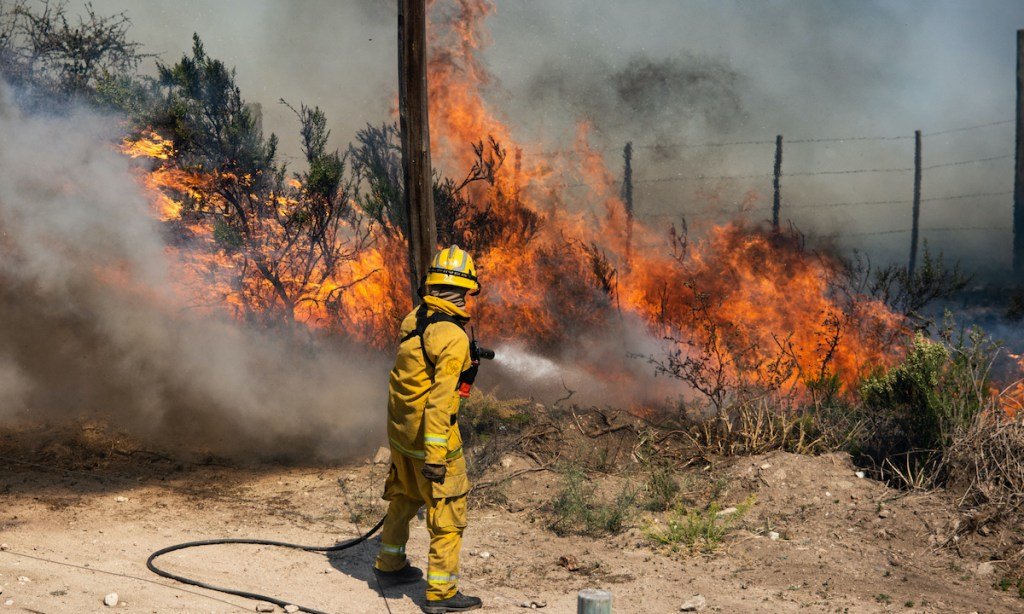
For the past few decades, wildfires have been getting bigger and more destructive all across the Western United States. Traditionally, strategies for fighting these fires have been pretty blue-collar. (Think digging ditches, hacking down trees, and setting controlled burns.) But now, instead of attacking the problem with shovels and axes, Colorado-based aerospace company Lockheed Martin hopes to use satellites and artificial intelligence.
So far, the company has been able to create maps of active wildfires about ten times faster than humans can. That helps teams on the ground react more quickly to existing wildfires. Sonoma County in California has also been able to leverage machine learning. The county’s new ALERTWildfire system can scan thousands of images from cameras stationed in the backcountry. If the algorithm identifies something that looks like smoke, it immediately alerts the authorities. While the system is still new, it has the potential to spot fires faster than human eyes ever could.
As for actually predicting fires before they start? This aspect of the research is still pretty new, but there have been some promising developments.
Scientists from Stanford University have recently built a predictive model that maps toxic wildfire smoke. The model can accurately predict where the smoke will end up and what communities will be affected. The resulting air-quality maps could help community health organizations react fast to protect vulnerable groups.
Some experts think similar models could be used to predict future fires, as well. Satellite technology has been growing exponentially over the past few years. Right now, experts have access to vast quantities of satellite data measuring everything from weather patterns to vegetation coverage. NASA even has satellites that can measure moisture in the ground — all the way from space.
Add all this information together, and land managers may be able to pinpoint areas that are dry, windy, and thickly covered with vegetation — in other words, areas primed for catastrophic fire.
The benefit of machine-learning algorithms is that they’re able to process tons of weather and vegetation data in real time. That means they can identify problem areas much faster than humans can, and, in the future, maybe even predict them before they happen.


